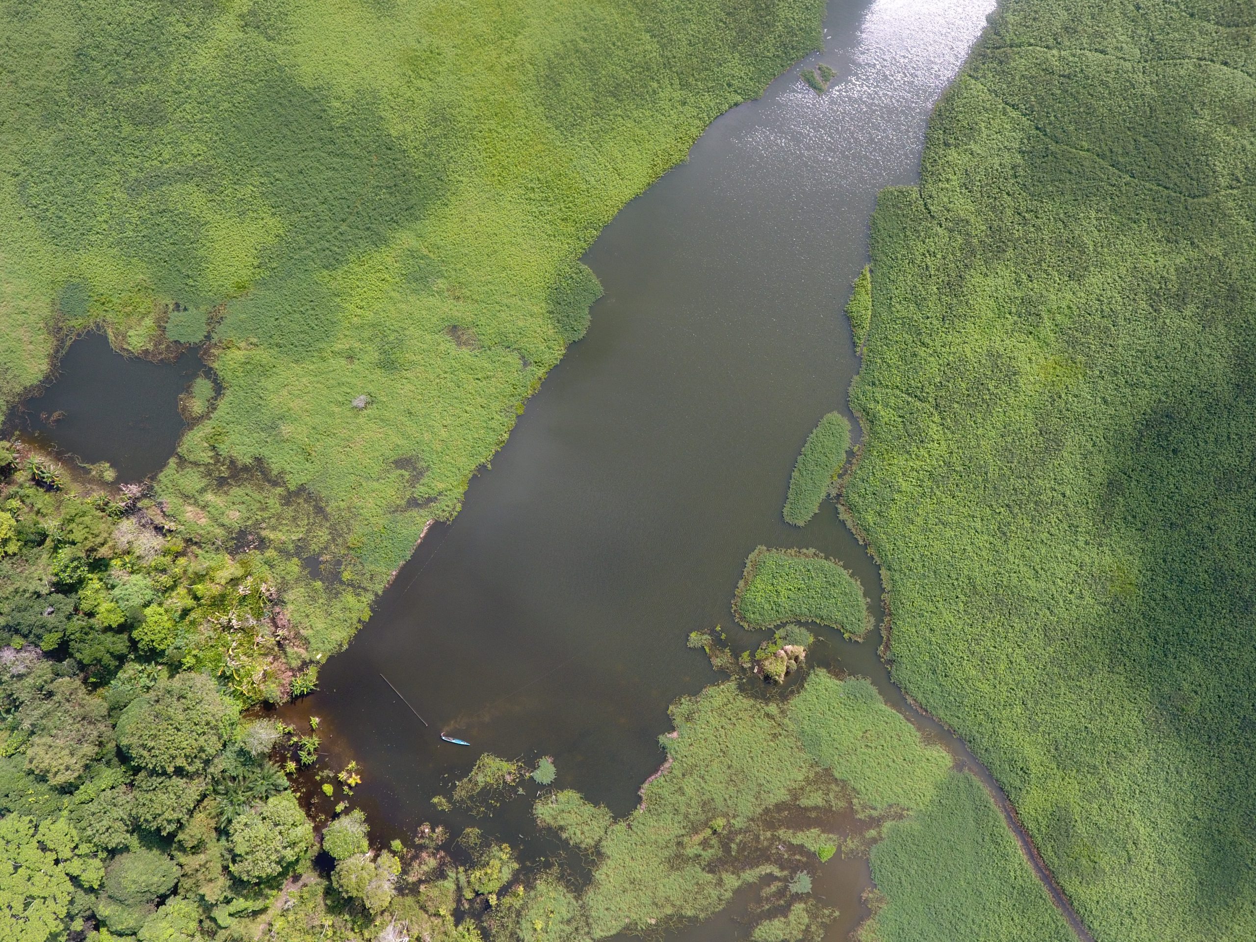
Explora Prima provides professional UAV mapping services using advanced drone platforms equipped with high-resolution cameras and airborne LiDAR sensors. Our solutions deliver fast, safe, and cost-effective aerial data acquisition for the engineering, construction, mining, oil & gas, and infrastructure sectors.
From orthophotos and Digital Elevation Models (DEM) to dense point clouds and LiDAR datasets, we provide reliable geospatial information to support planning, design, inspection, and asset management.
Why Choose UAV Mapping
Fast Data Acquisition
Fast turnaround time with flight speeds up to 2 m/s and an optimized 20-minute flight window for rapid project delivery.
High Accuracy
Deliver high-density spatial data achieving an absolute vertical and horizontal accuracy of up to +/- 6cm without GCP.
Cost Efficient
More cost-effective operations than traditional survey methods, covering up to 20+ Ha/flight (LiDAR).
Safe Operation
Enhanced field safety utilizing Laser Safety Class 1 sensors, requiring minimal ground personnel and eliminating strict GCP requirements
Equipment & technology
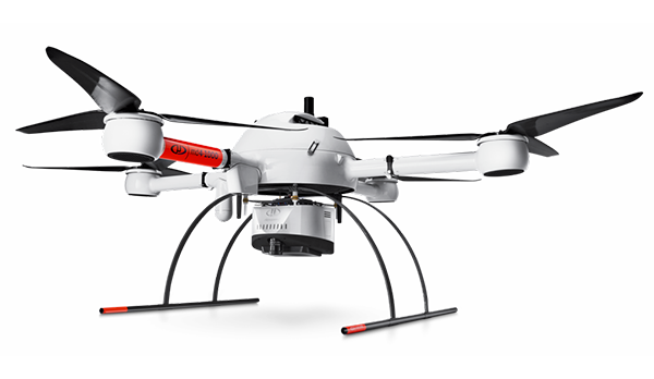
Microdrones MD4-1000 (LiDAR System)
High-end drone platform integrated with advanced mdLiDAR systems. Engineered for high-voltage powerline monitoring, complex industrial inspections, and topographic mapping across challenging terrains.
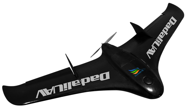
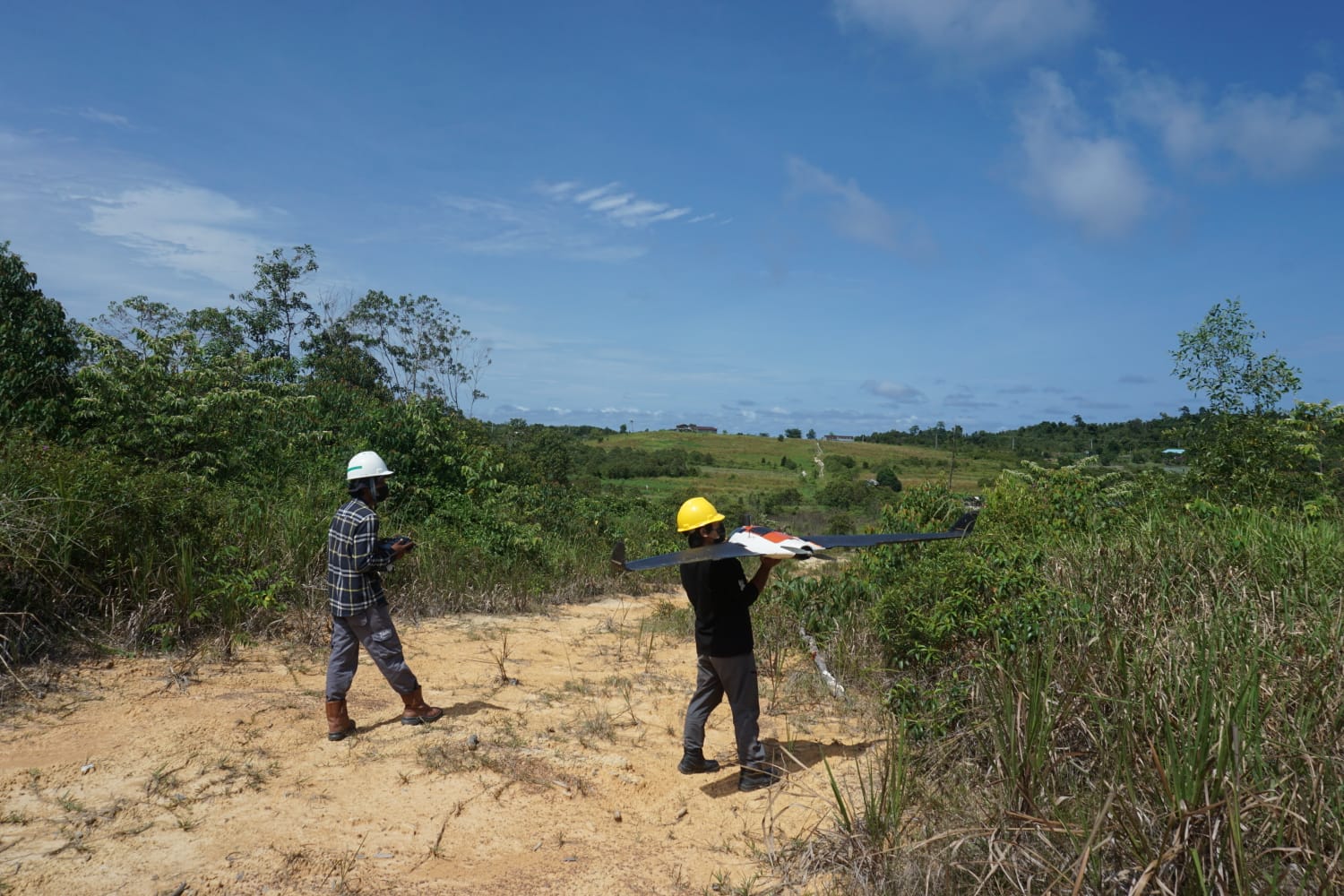
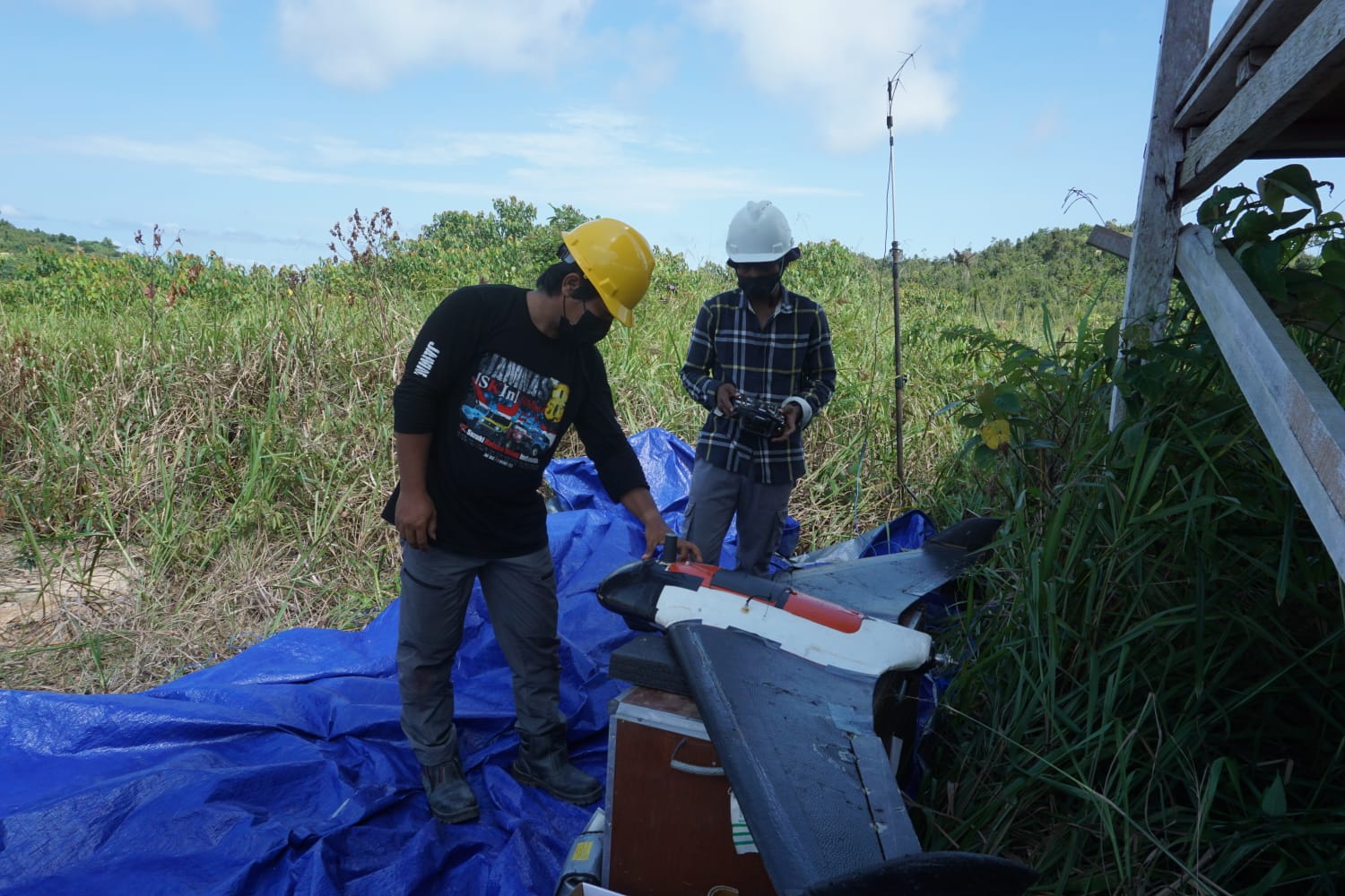
Fixed-Wing / Multirotor UAV (Photogrammetry)
Professional UAV system equipped with high-resolution digital cameras. Tailored for large-scale site mapping, civil engineering planning, and rapid orthophoto generation with efficient aerial coverage.
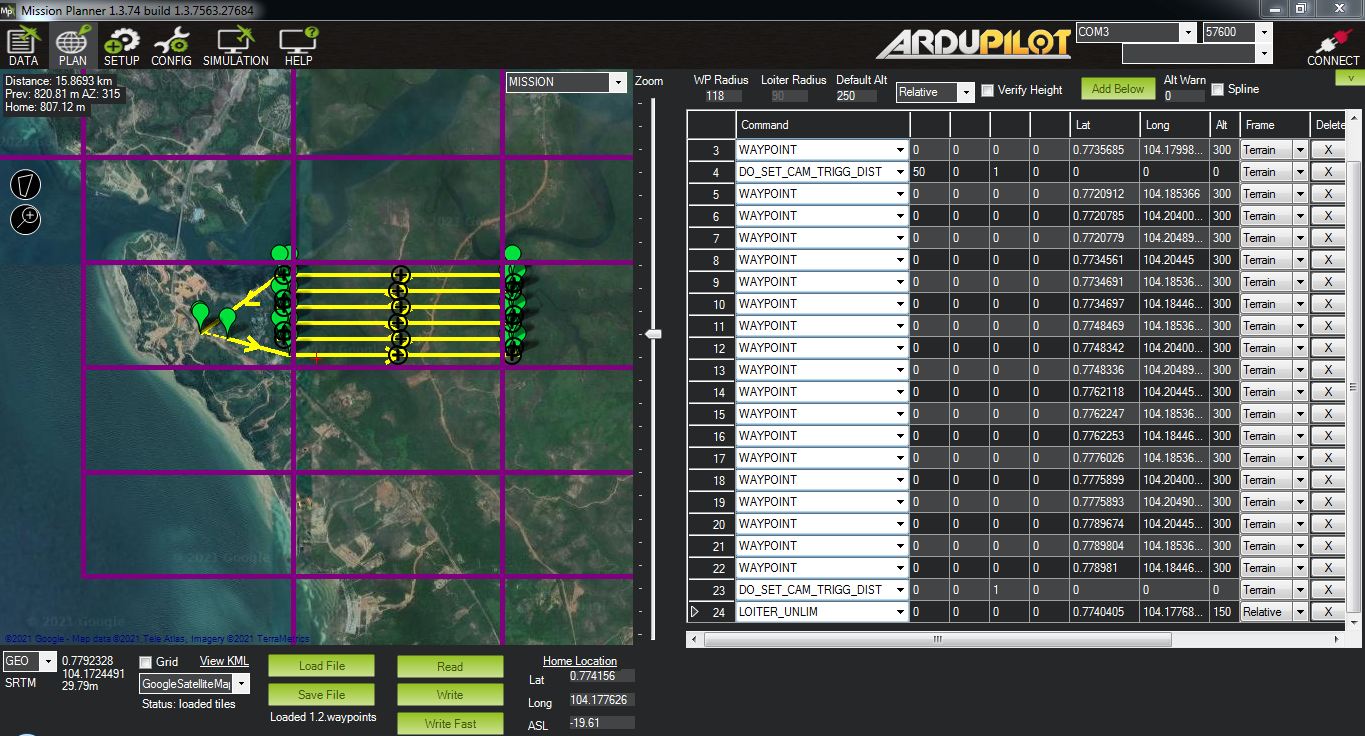
Specialized Photogrammetry & LiDAR Software
Advanced engineering software to transform raw airborne datasets. Capable of generating highly accurate Digital Elevation Models (DEM), dense point clouds, and geometrically corrected imagery.
get started
Ready To Start Your Survey Project?
Call us right now, Let us handle your survey project!