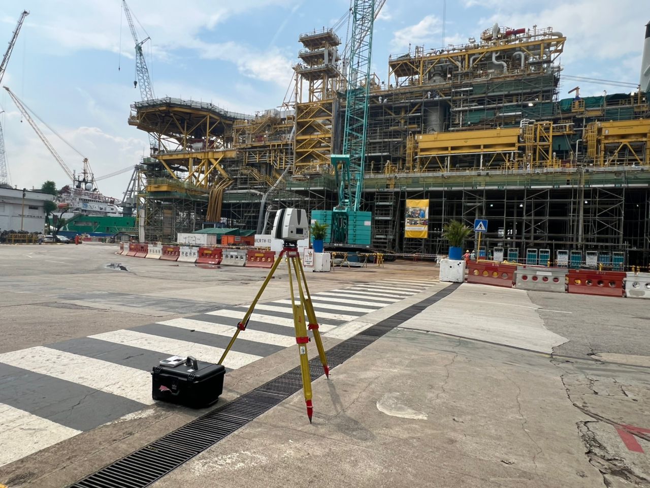
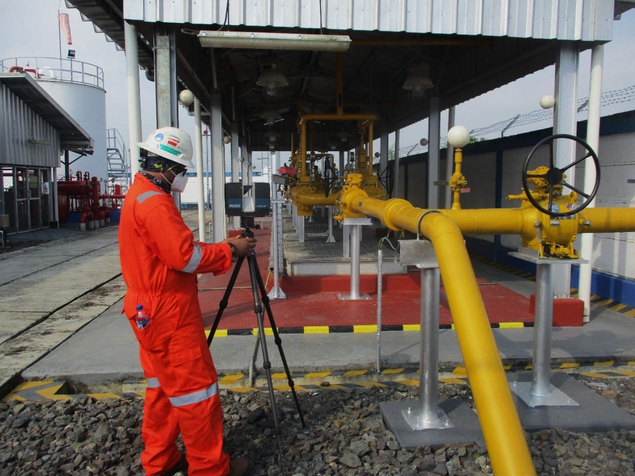
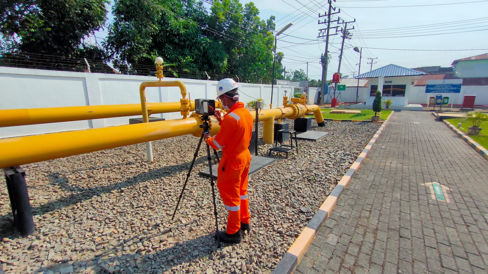
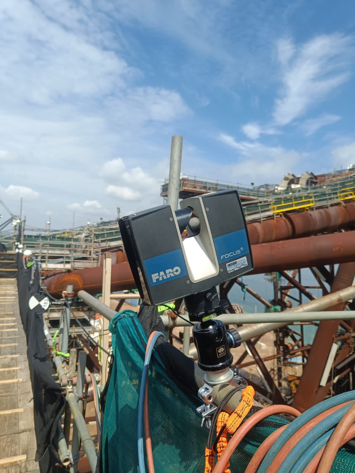
Explora Prima delivers high-precision 3D laser scanning solutions powered by advanced geospatial technology. We transform real-world assets into accurate digital twins, supporting precise as-built documentation, reverse engineering, complex engineering design, and digital asset management.
Our deliverables provide reliable spatial data across the project lifecycle—optimizing planning, construction, and maintenance to help clients maximize efficiency, eliminate rework, and make data-driven decisions.
Services include
3D Laser Scanning Modeling
Capture accurate point cloud data for as-built documentation and engineering applications.
CAD Modeling Services
Transform survey data into detailed CAD models for engineering design and project planning.
Engineering Analysis
Support structural assessment and simulation using accurate digital engineering models.
PDMS Modeling Services
Develop intelligent PDMS models for engineering documentation and asset management.
Technical Capability & Expertise
Dedicated Processing Facility
Supported by a team of 10+ highly qualified professionals specialized in drafting, modeling, and PDMS (Plant Design Modelling Systems) administration.
Our capacity is scalable, allowing us to manage long-term projects and large-scale modeling tasks that require intensive processing.
Advanced Software Suite
We utilize industry-standard software, including AutoCAD, Microstation, Cyclone, CadWorx, SCENE, and PDMS.
We continuously develop custom CAD applications to optimize operational efficiency and accelerate data processing timelines.
Advanced Software Suite
Equipped with state-of-the-art 3D scanners to ensure results meet the most stringent client requirements and application needs.
We transform real-world assets into intelligent, data-embedded 3D models for enhanced asset management.
Industrial Applications & Functions
Key Application
Corrosion Mapping: Assessing surface degradation and structural integrity using detailed 3D spatial data.
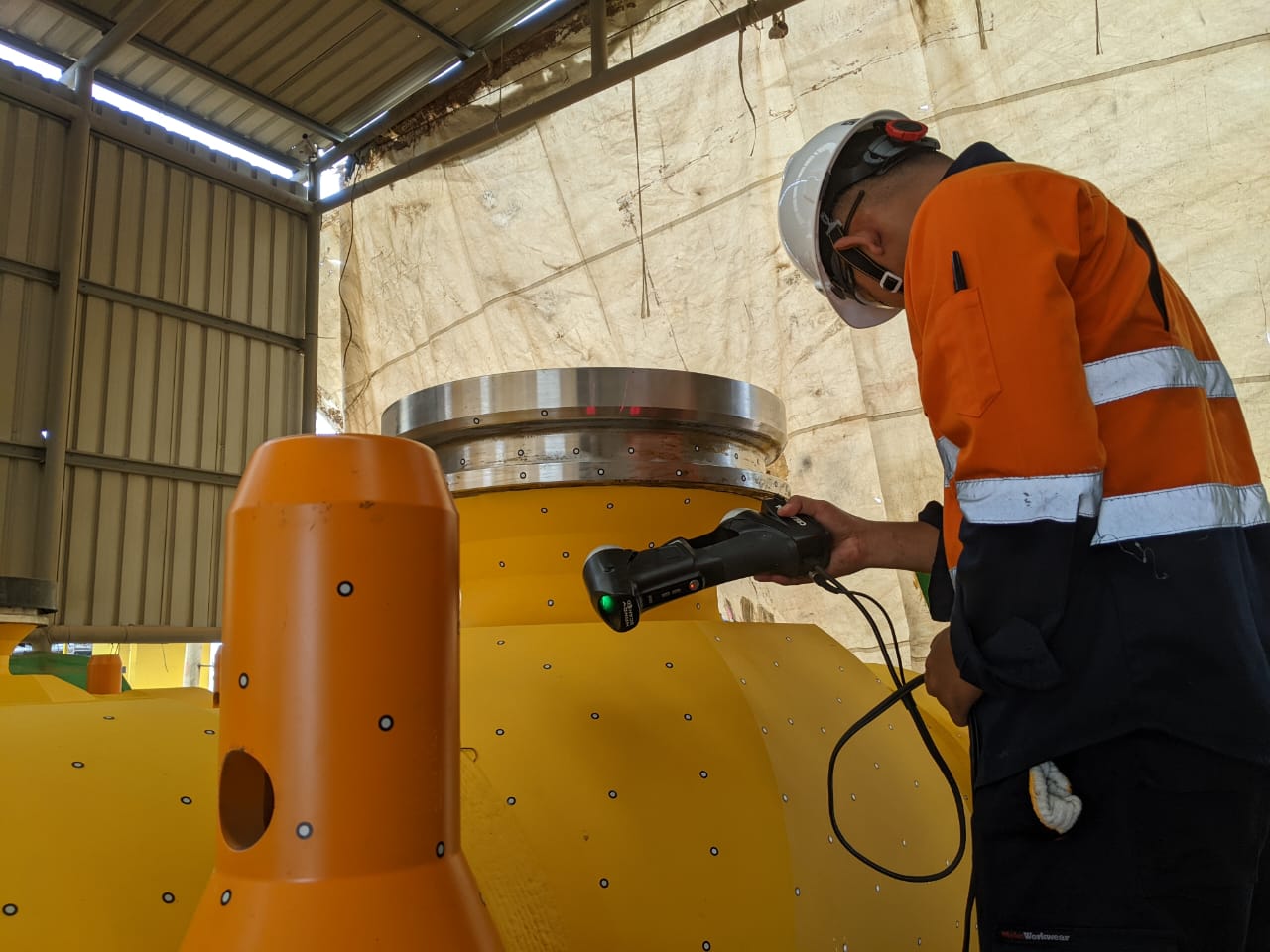
Pipe End Measurement: Verifying pipe fit-up, alignment, and dimensional accuracy for seamless integration.
Spool Measurement: Capturing precise spool dimensions prior to installation to ensure a perfect fit.
Dimensional Verification: Confirming that components fully comply with strict engineering specifications.
Industrial Functions
As-Built Documentation: Providing accurate mapping and documentation of existing structures.
Volumetric Calculation: Delivering precise measurements for tank volumes and stockpiles.
Marine Industries: Offering specialized support for Ballast Water Treatment Systems (BWTS), propulsion systems, and more.
Clash Checking & Modification: Identifying potential interferences before construction or installation to prevent costly rework.
Engineering Analysis: Performing structural analysis, including Finite Element Analysis (FEA) and tank settlement studies.
Equipment & technology
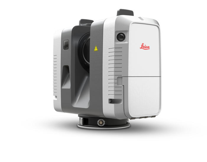
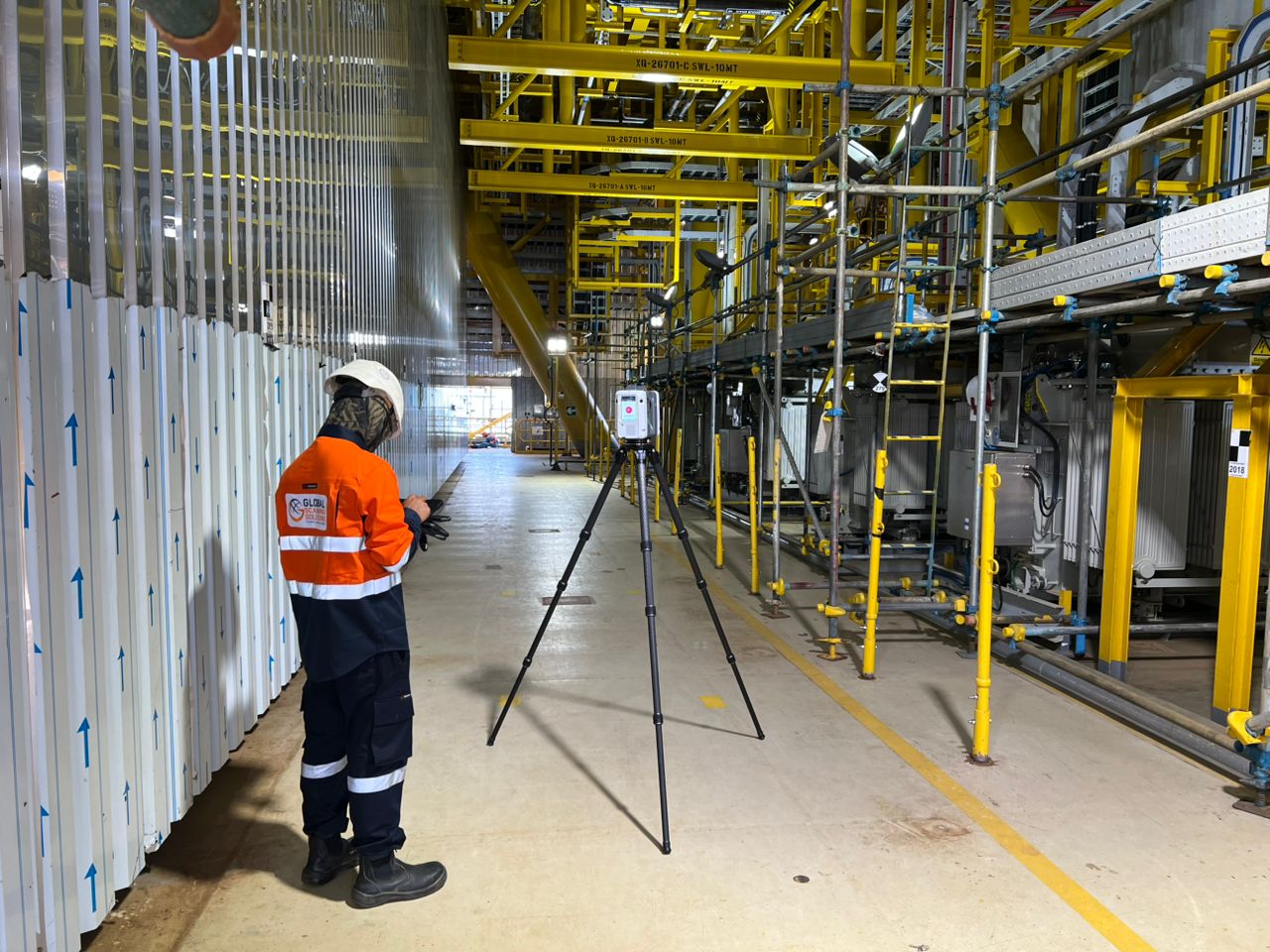
Leica RTC360
High-speed 3D laser scanner for rapid field capture. Delivers HDR imaging and highly accurate point cloud data for engineering and industrial surveys.
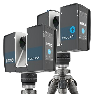
FARO S150
Advanced 3D laser scanner designed for precise measurement. Provides reliable point cloud data for complex industrial and infrastructure projects.
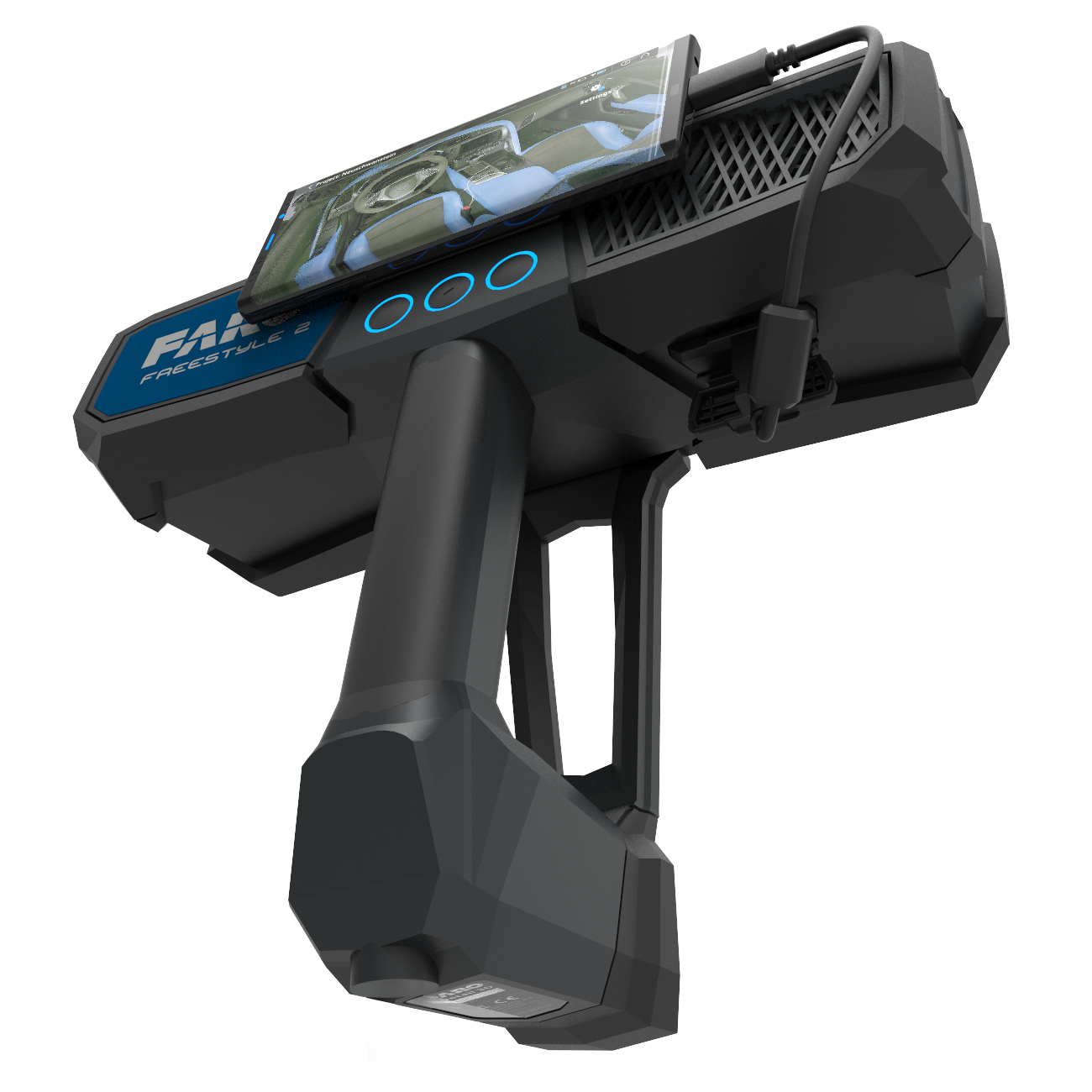
FARO Freestyle
Compact handheld 3D scanner for fast and flexible data collection. Suitable for confined spaces and hard-to-reach survey environments.
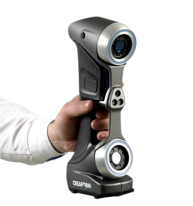
Creaform HandySCAN 3D
Portable metrology-grade 3D scanner for detailed inspections. Ideal for capturing complex geometries with high accuracy and flexibility
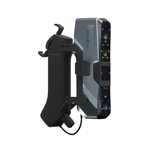
3D Scanner 3DEVOK
High-precision handheld scanner for product and reverse engineering. Supports detailed inspection and digital model generation workflows.
3D LiDAR Slam S20
SLAM-based mobile LiDAR system for rapid 3D mapping. Efficiently captures large-scale environments and generates accurate point cloud data.
get started
Ready To Start Your Survey Project?
Call us right now, Let us handle your survey project!