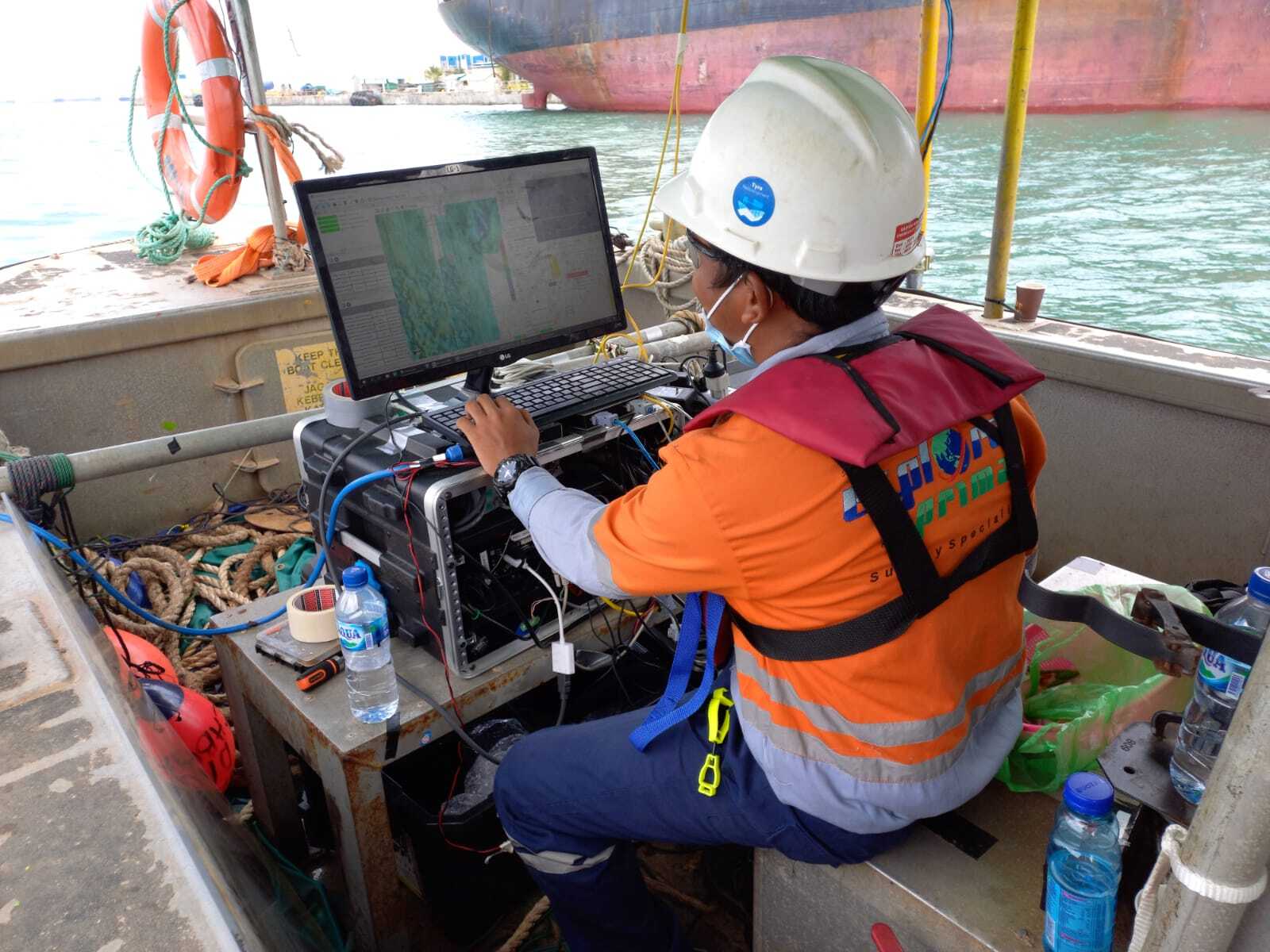
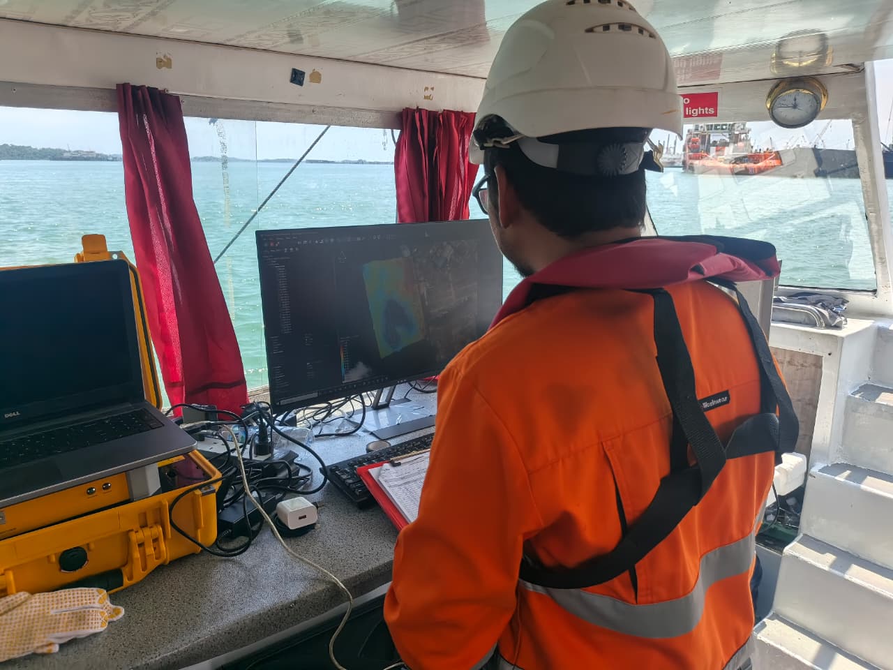
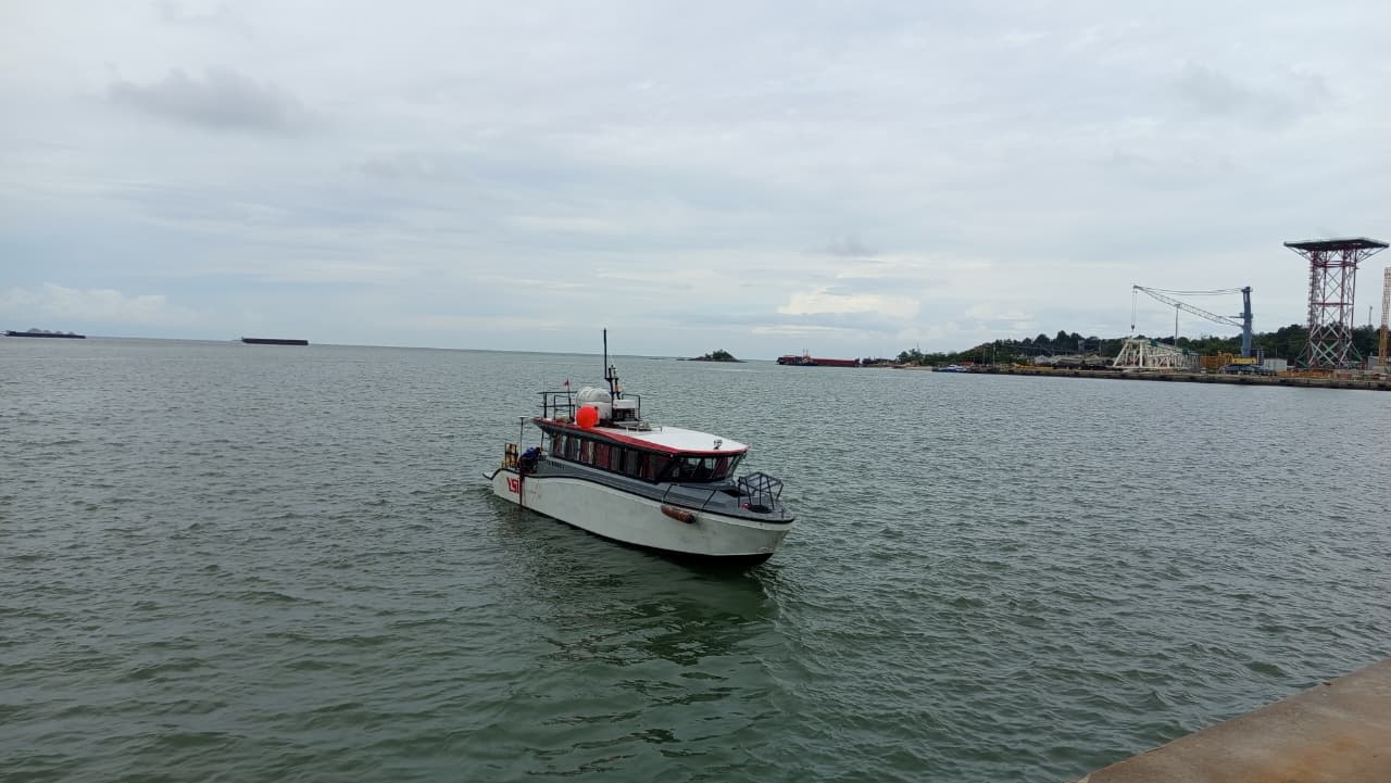
Explora Prima delivers professional bathymetric surveys to accurately measure water depths and map complex seabed topography using advanced acoustic methods. We provide high-resolution sonar imagery and reliable hydrographic datasets to ensure safe maritime operations and support critical client decision-making.
Why Choose Our Bathymetric Services
Advanced Autoboat
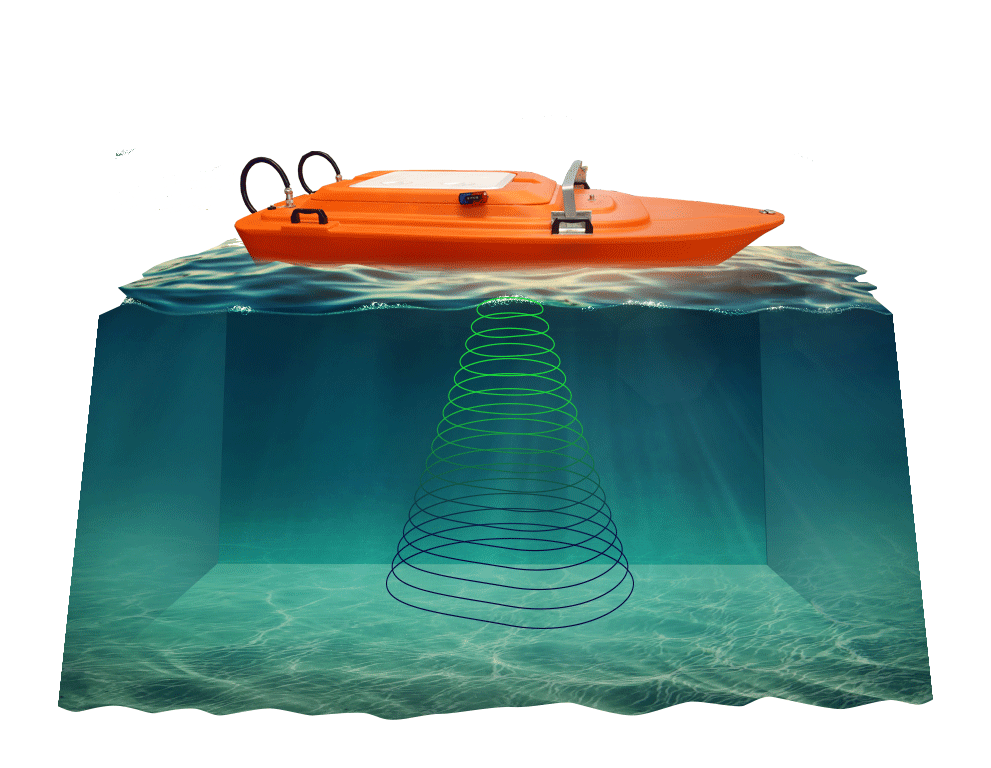
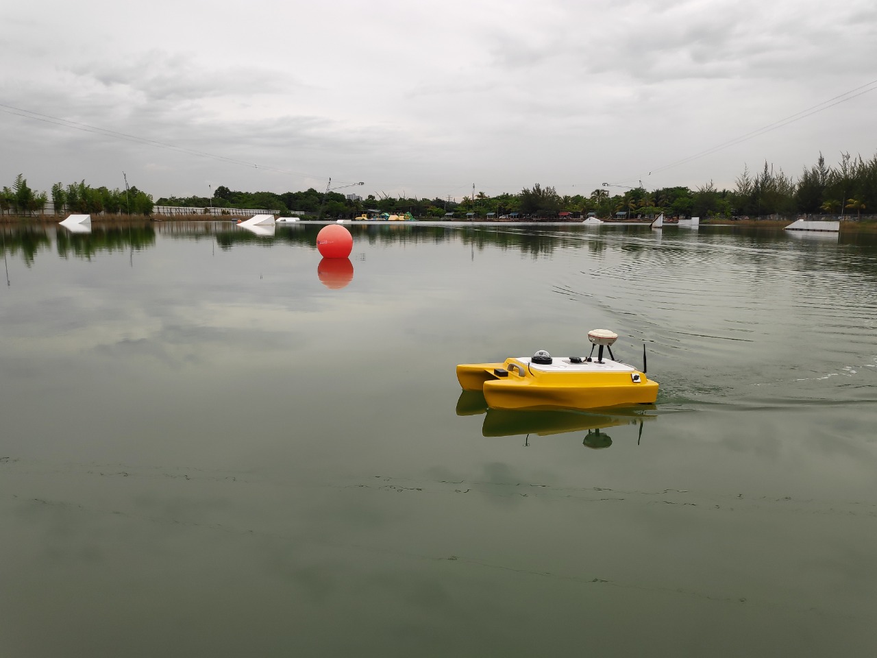
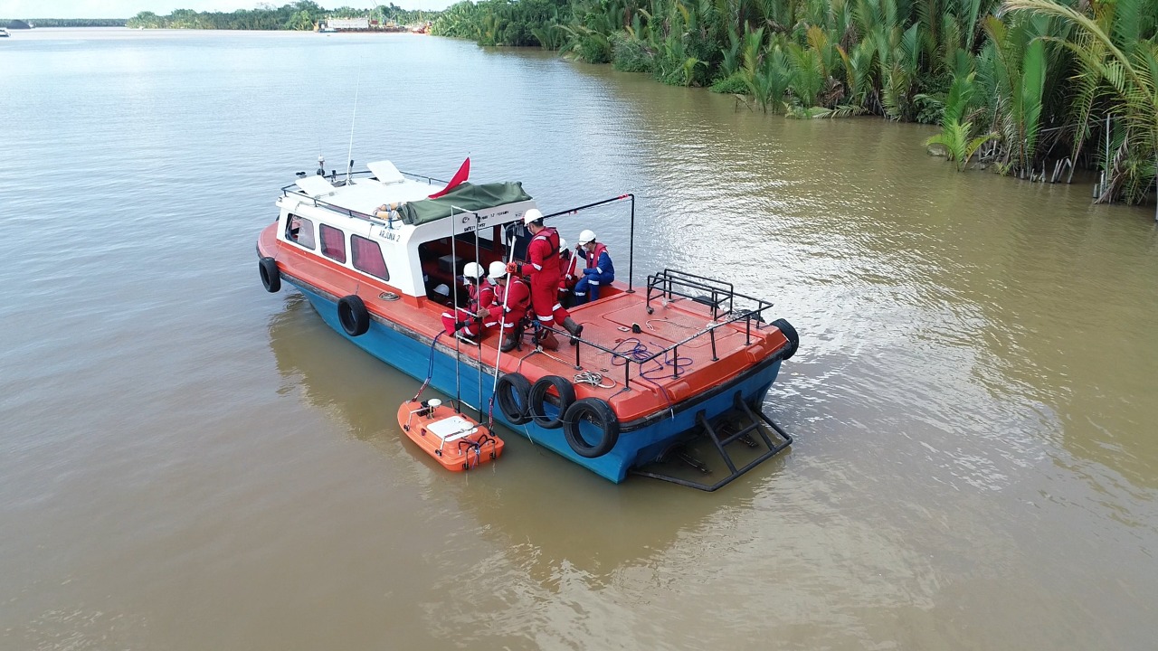
Deploy smart Autonomous Surface Vehicles (USV) equipped with auto-navigation to eliminate personnel onboard risks and reduce overall operational costs.
Versatile Applications
Provide multipurpose hydrographic solutions for critical engineering projects, including pipeline route assessments and dredging reclamation surveys.
Hazard Identification
Deliver high-resolution underwater scanning to conduct reliable seabed hazard assessments, debris monitoring, and comprehensive structural reviews.
Guaranteed Efficiency
Optimize survey timelines in shallow or hazardous waters using otonom missions that require fewer field personnel and minimal logistical setups.
Equipment & technology
Autonomous USV Fleet
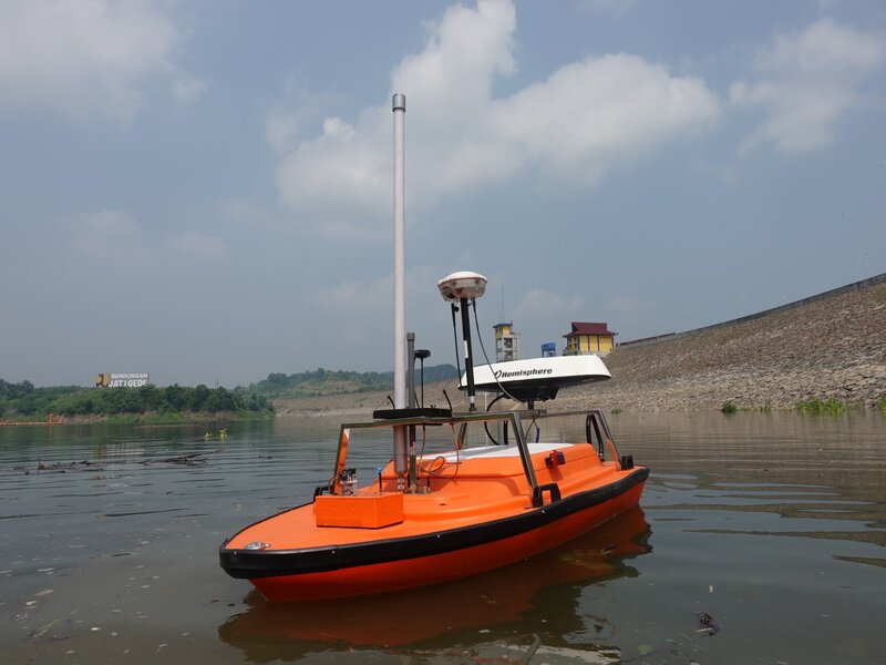
Portable AutoBoat system with fiber composite hull and dual brushless thrusters. Engineered for unmanned missions with 4-hour endurance and 6 km telemetry range.
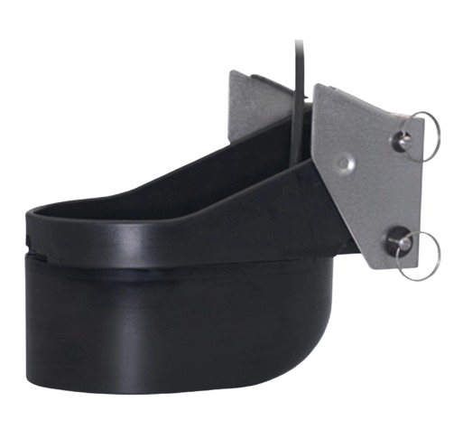
SBES Airmar
Professional-grade single-beam echo sounder for reliable water depth measurements. Designed for efficient data collection in shallow coastal waters and inland rivers.
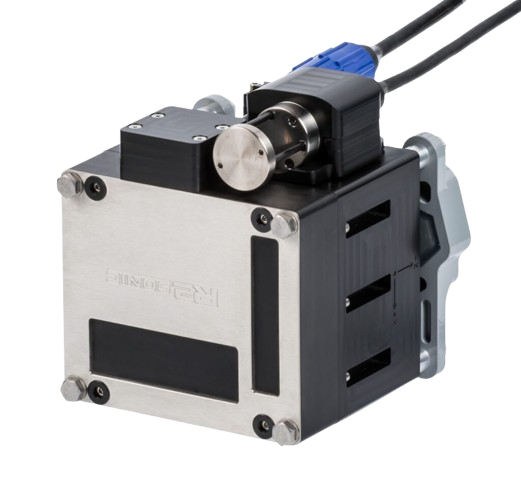
MBES R2SONIC
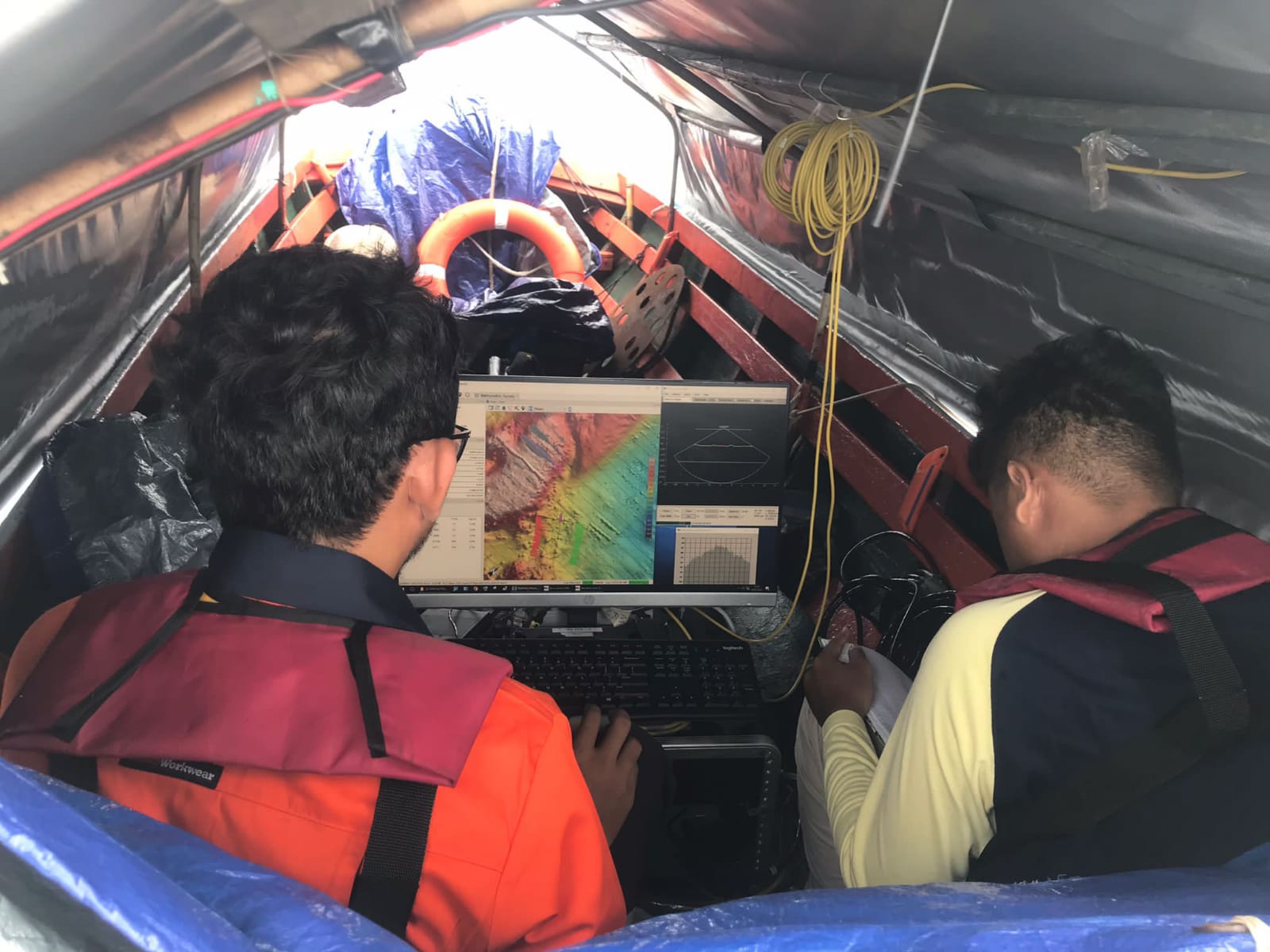
High-resolution multi-beam system for detailed wide-swath seabed mapping. Ideal for complex underwater terrain analysis and high-density topographic modeling.
GNSS Trimble R9
Advanced satellite positioning receiver for sub-centimeter survey accuracy. Essential for precise spatial referencing and real-time kinematic hydrographic operations.
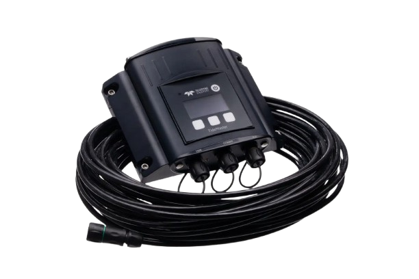
Valeport TideMaster
Highly reliable tide gauge for recording precise water levels during surveys. Provides accurate tidal corrections required for high-precision bathymetric datasets.
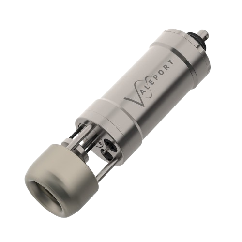
Valeport Mini SVP
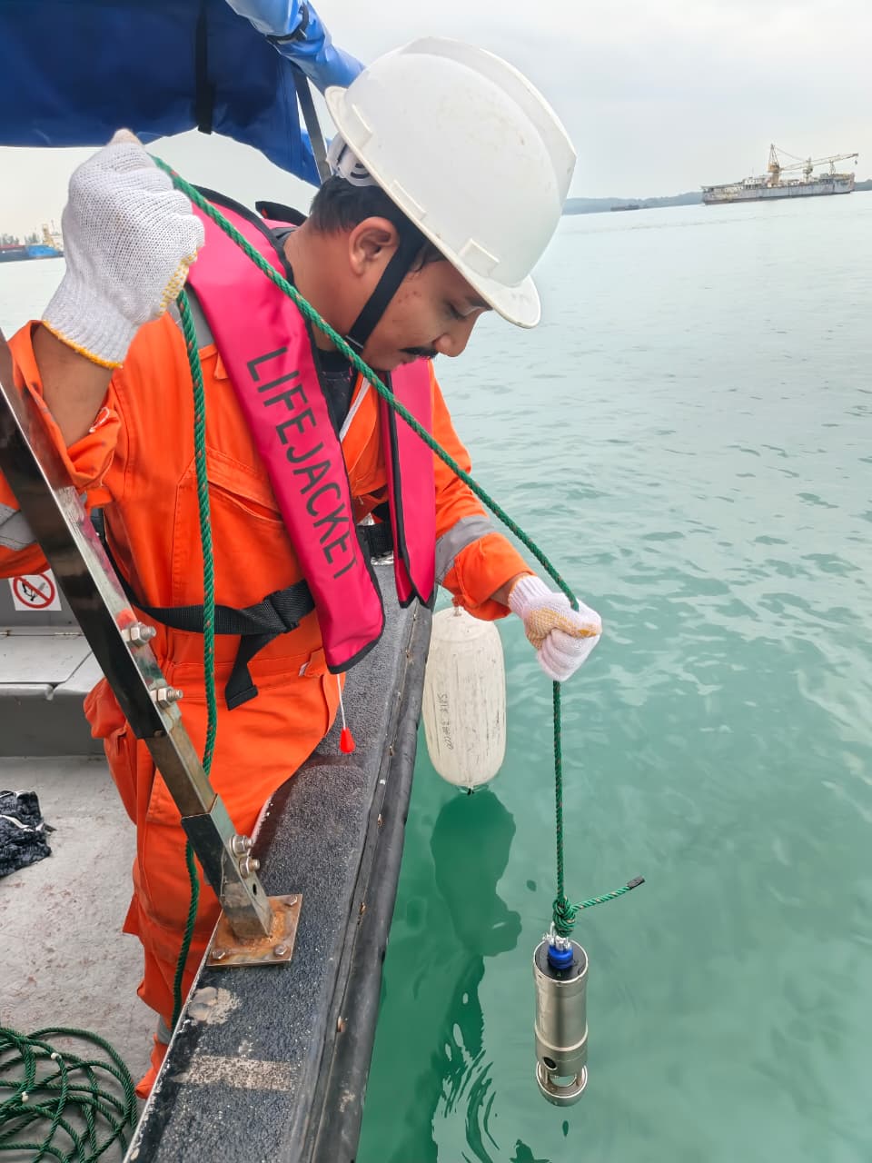
Compact sound velocity profiler for accurate acoustic calibration of sonar data. Ensures high data integrity by correcting sound speed variations in the water column.
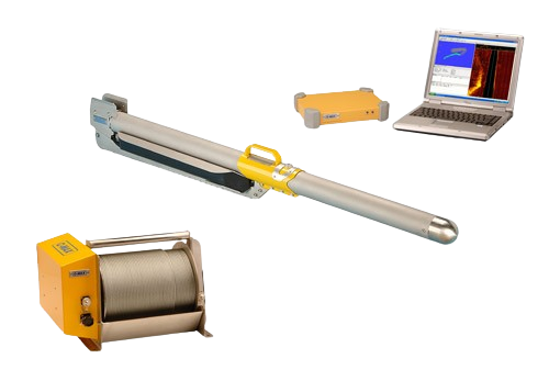
Side Scan Sonar C-MAX
Detailed acoustic imaging system for identifying seabed hazards and debris. Capable of generating clear, high-resolution imagery of the seafloor environment.
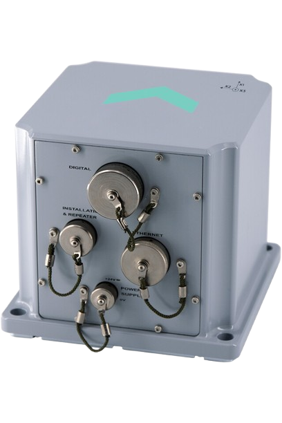
MRU PHINS
High-performance motion reference unit for stable vessel attitude tracking. Captures precise heading, heave, and pitch data to ensure accuracy in survey results.
Profiler Tritech
Precision acoustic profiler for real-time sub-bottom interpretation. Used for detailed layer analysis to support dredging and reclamation engineering projects.
get started
Ready To Start Your Survey Project?
Call us right now, Let us handle your survey project!