Georadar Subsurface Utility Scan
Ensuring construction safety through non-destructive radar technology for accurate underground utility and obstacle detection.
- Home
- Services
- Land & Geospatial Survey
- Georadar Subsurface Utility Scan
OVERVIEW
Professional Georadar Subsurface Utility Scan Services
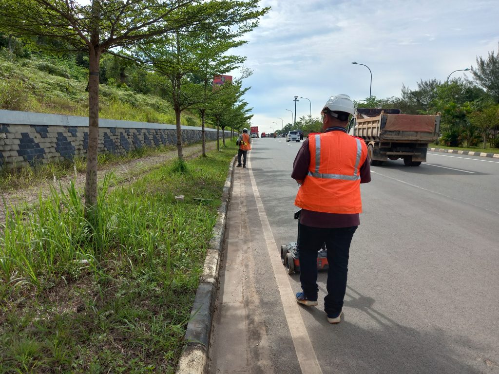
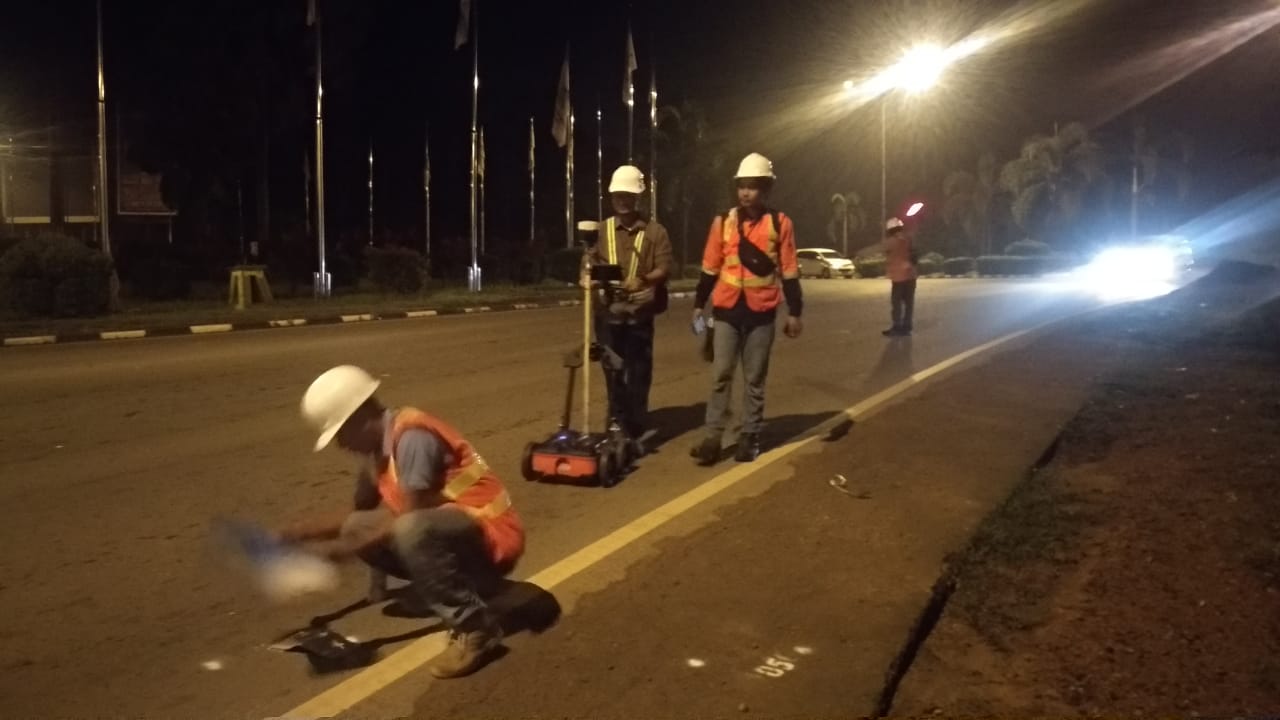
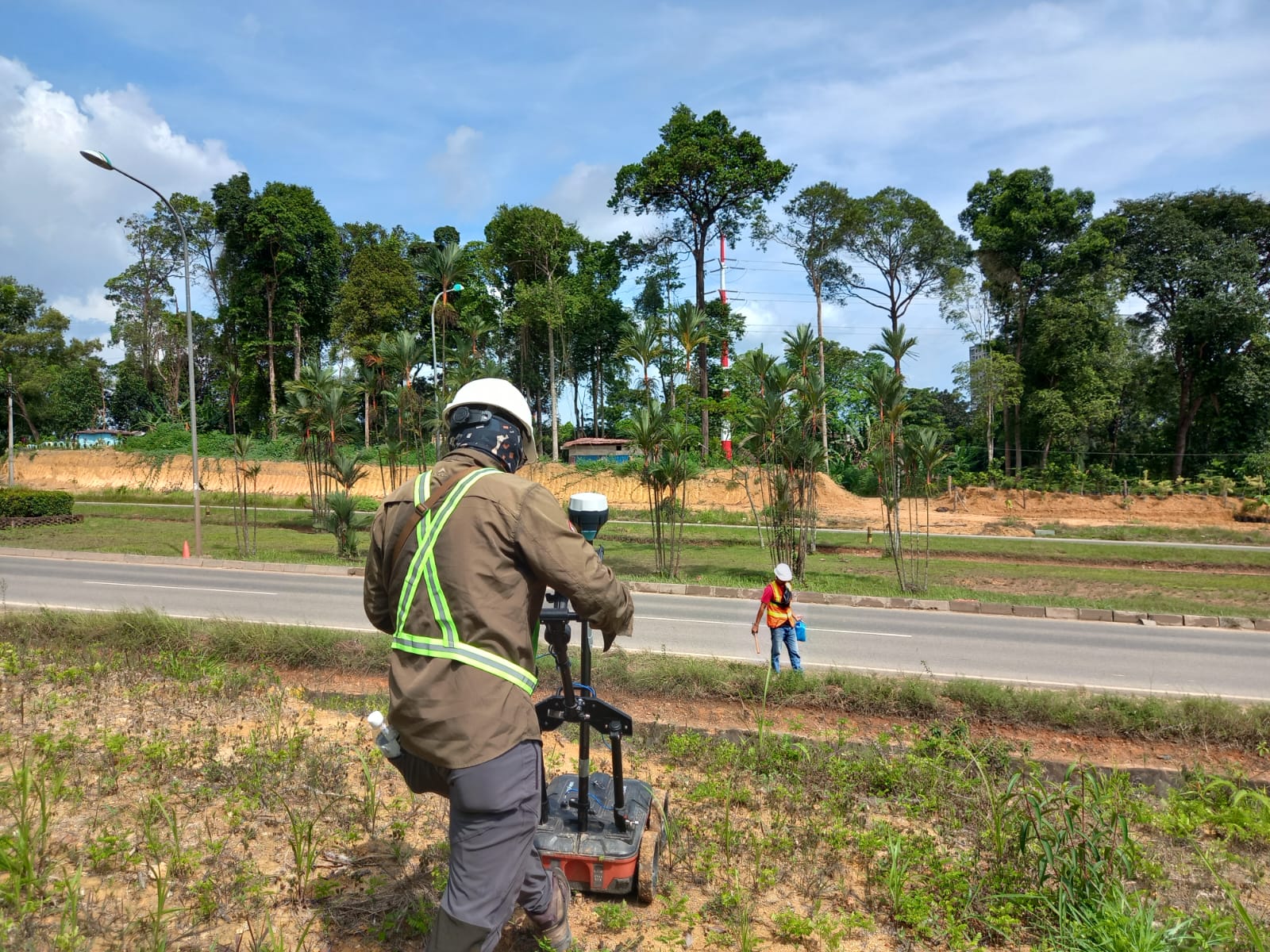
Explora Prima provides advanced Georadar subsurface utility scan services to safely detect underground objects. By transmitting radar waves into the ground, we identify subsurface conditions and buried utilities with high precision, helping clients avoid excavation risks and ensure project success.
Why Choose Our Georadar Services
Non-Destructive Safety
Perform essential underground investigations using non-destructive radar methods, ensuring your site remains safe and intact throughout the entire scanning process.
Rapid & Accurate
Achieve fast and accurate results with our high-resolution radar technology, allowing for quick site assessments and immediate actionable data for project planning.
Utility Identification
Reliably identify buried utilities and subsurface conditions prior to excavation, effectively eliminating the risk of accidental pipe leaks or service disruptions.
Operational Efficiency
Significantly reduce project delays, work accidents, and costly redesigns by obtaining a clear picture of the underground environment before ground-breaking starts.
Georadar Capabilities & Depth
High Frequency Scan
Delivers very high resolution for shallow penetration (<50 cm), ideal for detailed concrete scanning and rebar detection.
Intermediate Freq
Provides moderate resolution at 3–6 m depth, commonly used for professional utility mapping and archaeology projects.
Low Frequency Scan
Offers lower resolution with deeper penetration up to 10 m, specifically designed to detect large underground structures.
Hazard Mitigation
Effectively eliminates project delays and work accidents caused by unidentified underground obstacles before excavation.
Cost Optimization
Prevents unexpected redesign costs, extra work orders, and higher construction expenses by mapping utilities early.
Subsurface Clarity
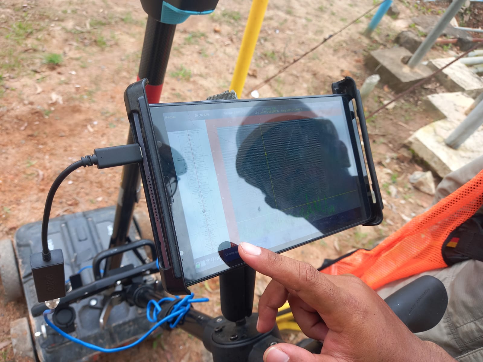
Transmits radar waves into the ground to hit objects with different physical properties, reflecting clear data to our receivers.
Portable Technology
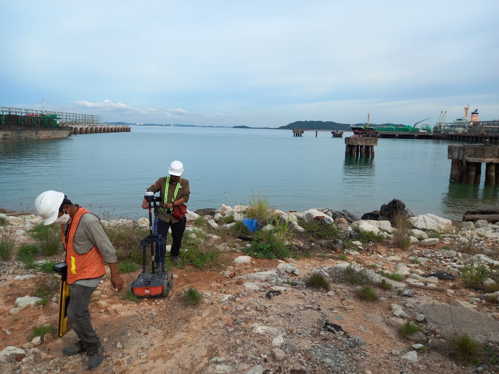
Utilizes easy-to-transport Georadar systems for efficient deployment across various field locations and diverse terrain types.
Object Detection
Detects buried objects and subsurface conditions with high precision, supporting safe and informed construction decision-making.
Project Success
Ensures time and budget efficiency by providing reliable subsurface intelligence to support complex civil engineering workflows.
get started
Ready To Start Your Survey Project?
Call us right now, Let us handle your survey project!