Geophysical Survey
Unlocking subsurface secrets with precision geophysical methods to map sediment layers, geological models, and resource potential.
- Home
- Services
- Engineering & Industrial Survey
- Geophysical Survey
OVERVIEW
Professional Geophysical Survey & Subsurface Imaging
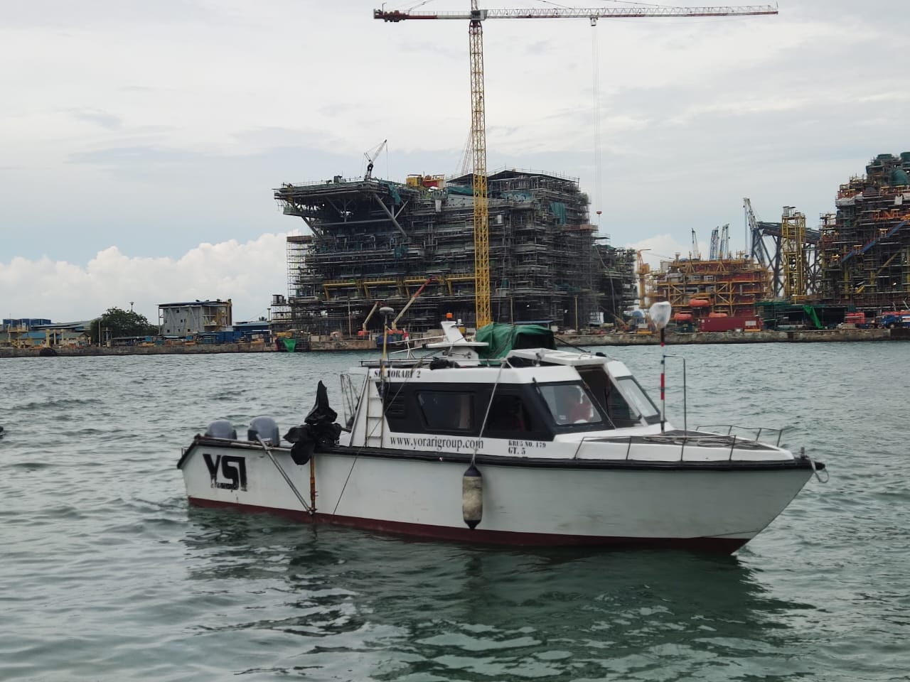
Explora Prima provides professional geophysical survey services using advanced physical methods to visualize subsurface structures both on land and at sea. We help clients map sediment layers, identify geological conditions, and assess seabed resource potential to support effective planning and strategic decision-making.
Why Choose Our Geophysical Surveys
Non-Invasive Imaging
Visualize complex subsurface structures accurately without the need for direct drilling, significantly reducing operational costs and potential environmental impact.
Comprehensive Mapping
Identify and map sediment layers, geological conditions, and resource potential across block areas to provide vital reference data for industrial projects.
Advanced Methodology
Deploy state-of-the-art geophysical techniques, including Sub-Bottom Profiling, geomagnetic, and gravity methods to ensure high-fidelity subsurface interpretation.
Data-Driven Planning
Deliver reliable, high-quality data that supports informed engineering and construction decisions, ensuring project stability and long-term operational success.
Geophysical Equipment & Methodology
Sub-Bottom Profiler
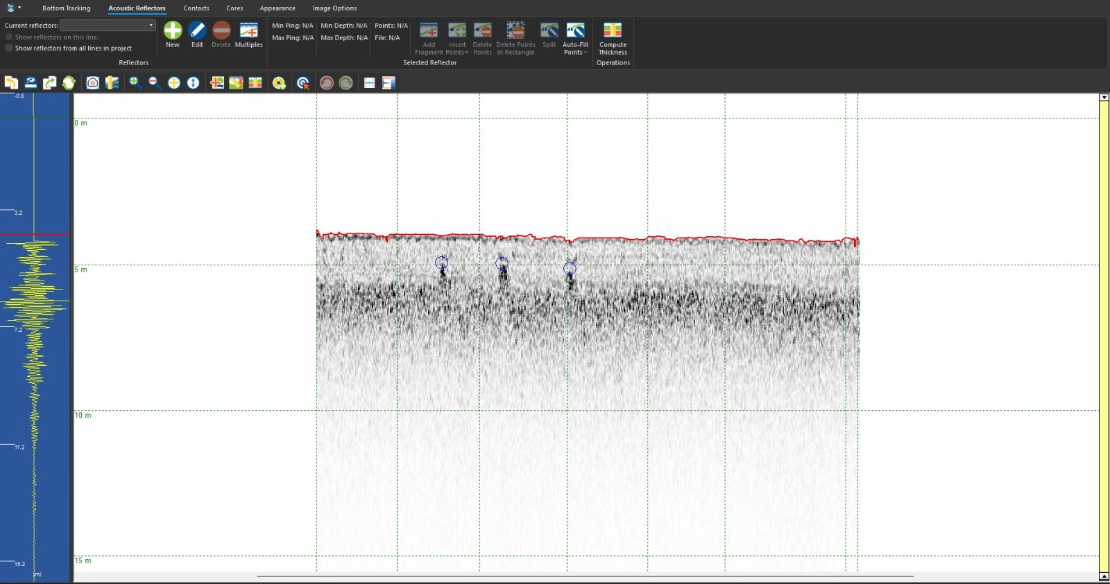
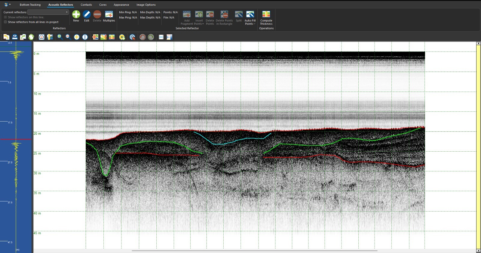
Transmits acoustic waves to the seafloor to interpret vertical sediment layers, stratigraphy, and determine sediment thickness.
Isopach Mapping
Processes geophysical survey data into detailed maps that display sediment thickness to support volume estimation tasks.
Geomagnetic Method
Measures Earth's magnetic field variations to identify magnetic anomalies associated with minerals or buried metal objects.
Magnetometer Suite
Utilizes precision instruments to detect geological structures and provide a comprehensive understanding of subsurface conditions.
Gravity Method
Measures variations in Earth's gravitational acceleration caused by differences in subsurface material density across the area.
Gravimeter Sensor
Detects gravity anomalies related to specific geological structures to improve subsurface interpretation and analysis quality.
Marine Geophysics
Applies specialized physical methods in offshore environments to visualize seabed formations for mining and infrastructure.
Data Interpretation
Integrates complementary geophysical data to support detailed analysis and provide a robust understanding of subsurface environments.
Subsurface Planning
Provides essential reference data for subsurface conditions, ensuring effective planning and decision-making for complex projects.
get started
Ready To Start Your Survey Project?
Call us right now, Let us handle your survey project!