PT Explora Prima | Survey Specialist

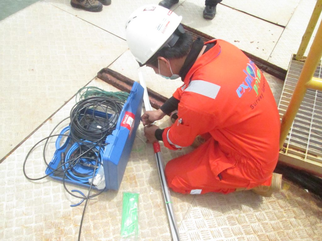
Explora Prima successfully completed a vital project focused on Pipeline Survey and CP Measurement for a 12.5KM Gas Pipeline Facility running from Pemping Island to Tanjung Uncang. The project’s primary goal was to ensure the safety and dependability of this critical gas pipeline network in the region, and we nailed it!
The safety and security of gas pipelines are paramount, and Pipeline Survey plays a critical role in monitoring the physical and environmental conditions of their route. To achieve precision in determining the gas pipeline’s direction, depth, and position throughout the designated path, Explora Prima has adopted innovative survey methods. In addition, their team has conducted CP (Corrosion Protection) assessments to gauge the corrosion protection levels on the gas pipeline.


Explora Prima’s latest project showcases our expert integration of advanced geospatial mapping technology with sophisticated measurement tools. Our highly-skilled team utilized industry-leading GPS (Global Positioning System) devices and 3D laser scanning equipment to accurately capture the gas pipeline’s position and shape data. With the innovative 3D laser scanning approach, we generated comprehensive digital models of the pipeline route, streamlined monitoring and analysis, and provided clear, thorough insights.

The success of the project underscores Explora Prima’s steadfast commitment to safety, reliability, and environmental conservation. They are able to identify and prevent leaks and damages in the gas pipeline, thus mitigating potential risks to nearby communities and the environment through regular monitoring and CP measurements.
By conducting Pipeline Survey and CP Measurement work along the 12.5 KM Gas Pipeline Facility from Pemping island to Tanjung Uncang, PT Explora Prima has played an instrumental role in ensuring the ongoing operation and safety of the gas infrastructure. This, in turn, secures the efficient transport of gas resources while protecting the surrounding environment.