PT Explora Prima | Survey Specialist

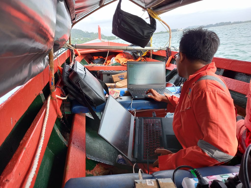
A Bathymetry & Debris Survey is a survey of underwater terrain and debris that may be present in bodies of water. This is usually done using special equipment such as a sonar, echo sounder and side-scanning sonar to map the depth and shape of the underwater environment. Survey results can then be used to identify potential hazards or debris that could pose a risk to navigation or other activities.

The most common type of Bathymetry & Debris Survey is the continuous topo-bathymetry survey with a point density of 10-20 points per square meter, accurate to 10 cm underwater and 5 cm above water. This type of survey can provide detailed information about the shape and depth of the ocean floor, as well as any debris or obstructions that may be present.
Like what PT Explora Prima did at the Jetty area of PT Wasco Engineering Indonesia last December. In the Bathymetry & Debris Work, PT Explora Prima involved geophysicists, surveyors and survey engineers. In addition to providing detailed information about the seabed such as updating water depth maps around PT Wasco Engineering Indonesia jetties, the Bathymetry & Debris Survey also helps identify potential hazards or debris that could pose a risk to navigation or other activities.

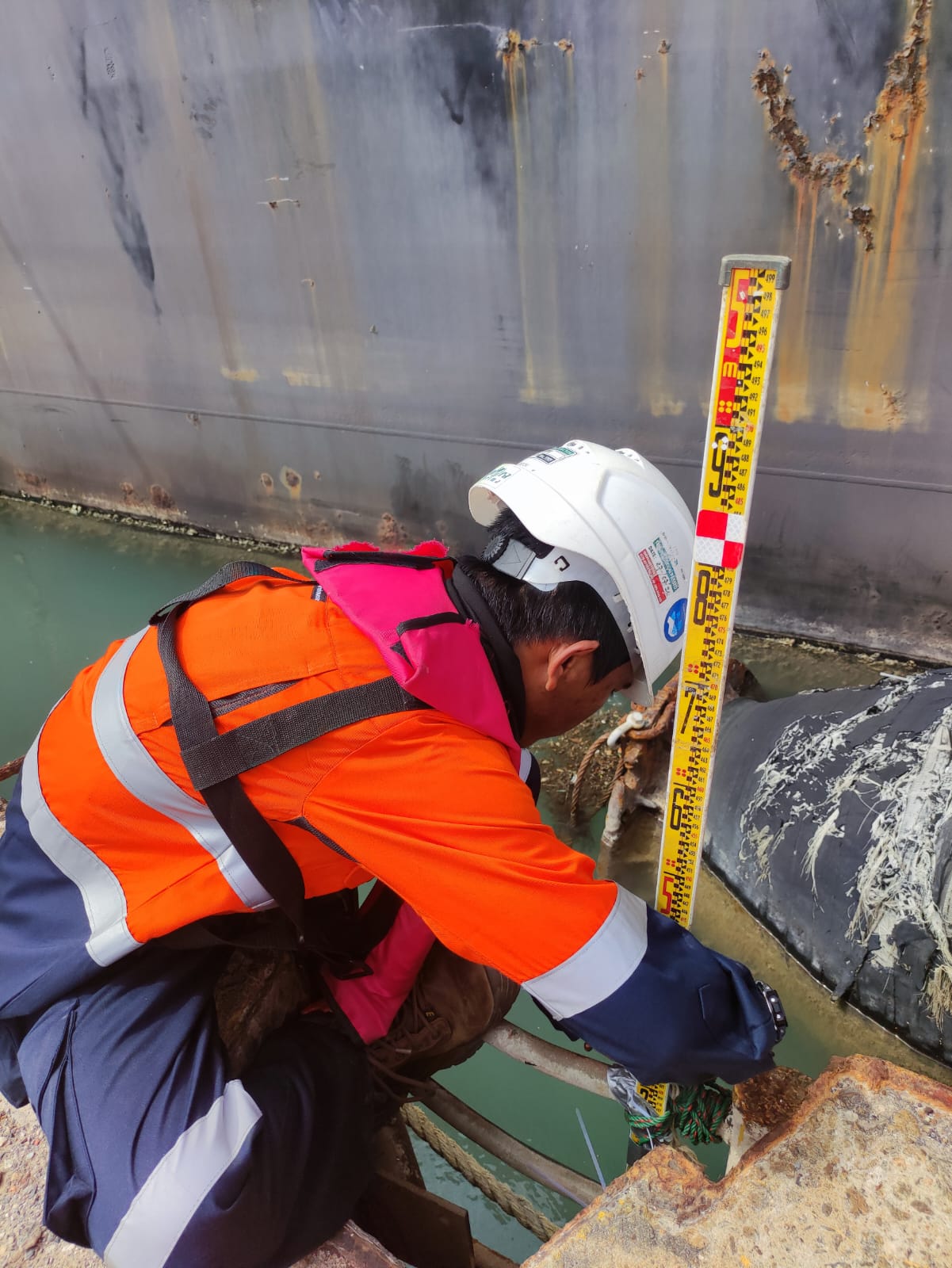
Process The bathymetry and debris survey methodology consists of a Multi Beam Echo Sounder (MBES), and a Side Scan Sonar (SSS) Sensor to determine water depth, seafloor contours, seafloor features, and debris identification. Vessel positioning and heading are supplied by Trimble BX992 DGPS with Marine Star Correction. Tidal observations during the survey were recorded by the Hobo Water Level Data Logger.
The work data that has been done includes the process of interpreting, checking, and compiling in a final report to show and find these hazards and debris, enabling more informed decisions about the best way to proceed with activities in the area.
Overall, the Bathymetry & Debris Survey is an important survey activity to understand and manage the risks associated with activities in the surrounding water bodies. They provide detailed information about the ocean floor and any potential hazards or obstructions that may be present.